Pelatihan OSM QGIS dan InaSAFE di InaDRTG
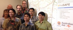
Pada tanggal 16-18 Desember 2015, tim HOT dan DMI (Disaster Management Innovation) mengadakan pelatihan di InaDRTG. Pelatihan ini merupakan pelatihan … Continued
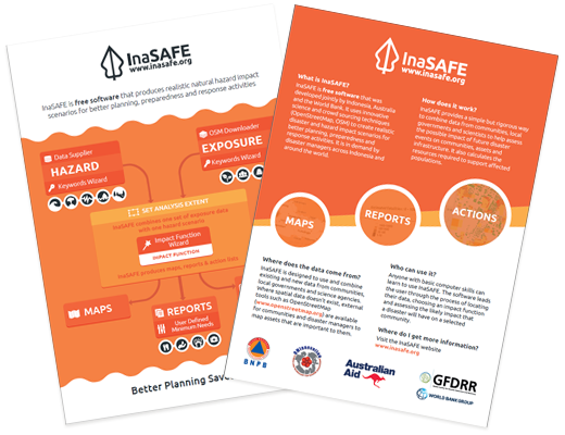
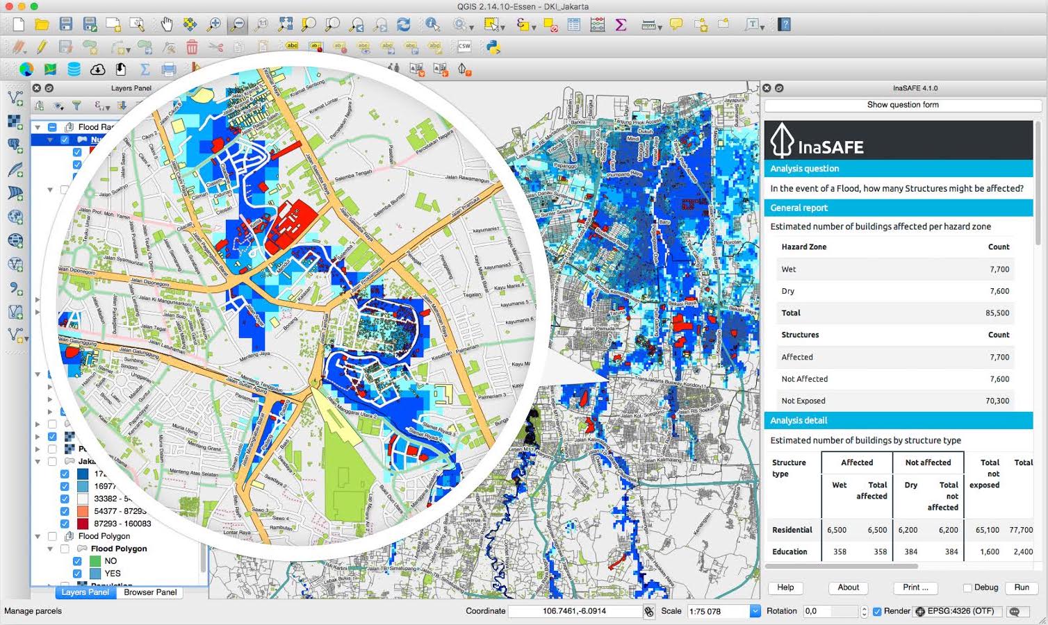
InaSAFE is free software that produces realistic natural hazard impact scenarios for better planning, preparedness and response activities. It provides a simple but rigorous way to combine data from scientists, local governments and communities to provide insights into the likely impacts of future disaster events.
InaSAFE is free software that was developed jointly by Indonesia (BNPB), Australia (Australian Government) and the World Bank (GFDRR).
InaSAFE is a Free and Open Source Software (FOSS) project, published under the GPL V3 license. As such you may freely download, share and (if you like) modify the software.
Pada tanggal 16-18 Desember 2015, tim HOT dan DMI (Disaster Management Innovation) mengadakan pelatihan di InaDRTG. Pelatihan ini merupakan pelatihan … Continued
Setelah telah mengadakan pelatihan InaSAFE dalam kaitannya dengan kajian resiko bencana dengan Badan Nasional Penanggulangan Bencana (BNPB) bulan Desember 2015 … Continued
Versi terbaru dari InaSAFE (3.0) telah diluncurkan dan siap untuk digunakan. InaSAFE (3.0) adalah perangkat lunak bebas yang melengkapi para … Continued
This is a two minute view which introduces the main concepts of InaSAFE
The video above provides a short introduction to InaSAFE.
Dr. Trevor Dhu demonstrating InaSAFE to Indonesian President Susilo Bambang Yudhoyono at the 5th Asian Ministerial Conference on Disaster Risk Reduction held in Yogyakarta, Indonesia, October 2012.
